
All Saints' Bench Mark
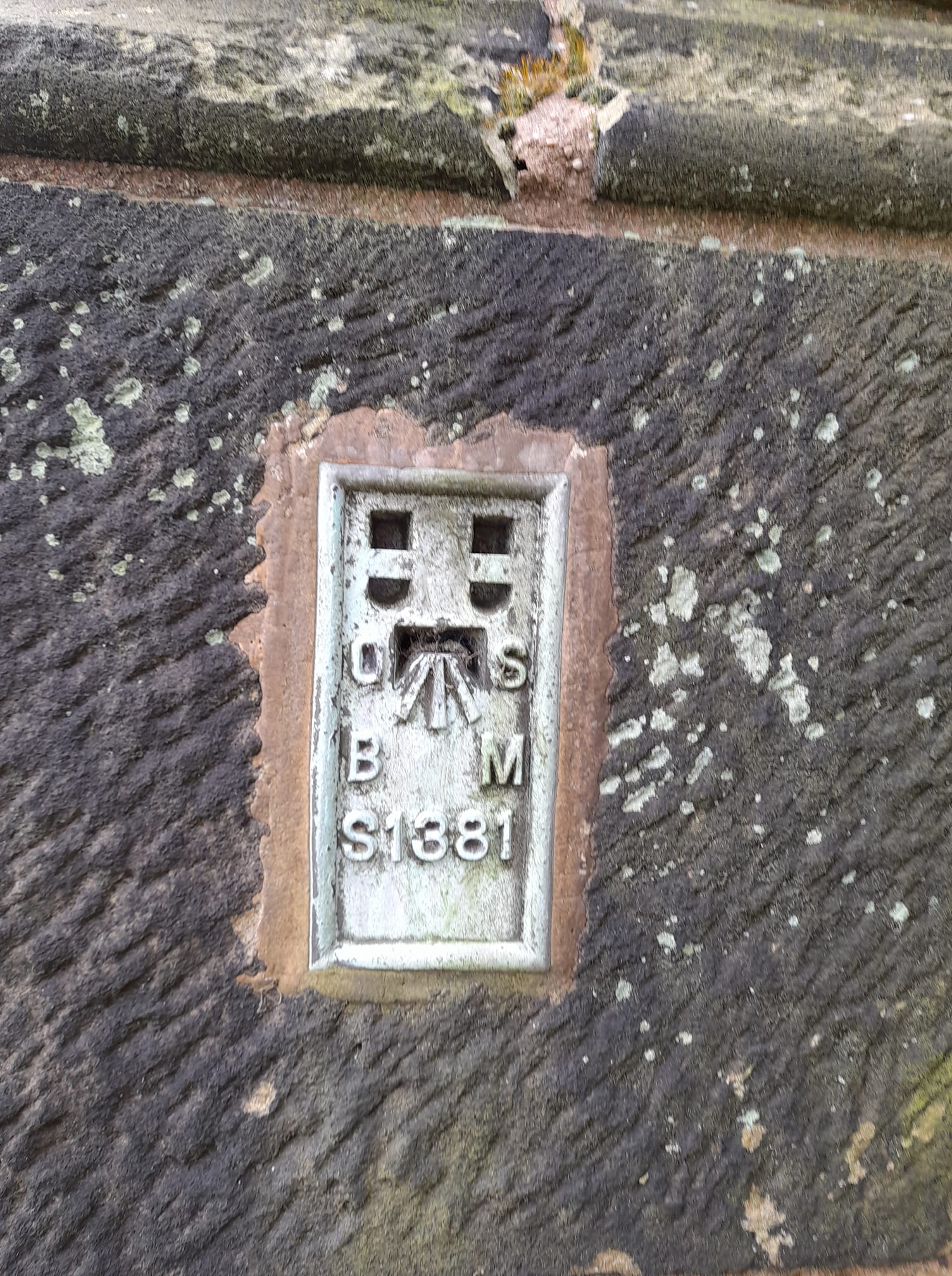
Flush Bracket OSBM S1381: Sedgley, All Saints' Church
This plate, set into the south-east wall of All Saints' tower, is an Ordnance Survey Bench Mark. It was once used to measure the height of key locations above sea level.
All the bench marks in the area are marked as dots on online Ordnance Survey Landranger Maps, with further information - including their height above sea level - available if you click on the dot.
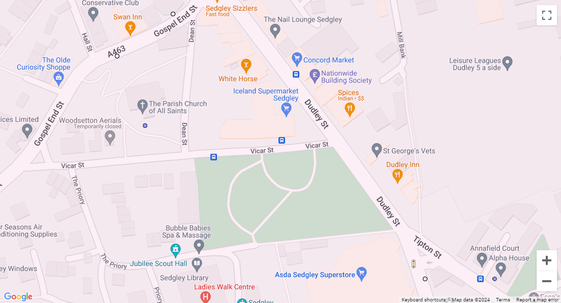
Ordnance Survey Landranger Map with locations of Bench Marks marked with circles.
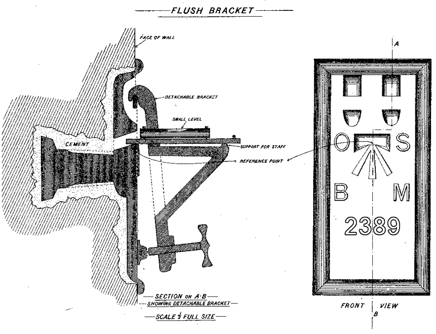
The diagram shows how the bench mark was fixed to the wall, and then used to support a stable ‘bench’ for a levelling stave to rest on.
There are different types of bench mark; for exampe there is one at the former Grand Junction pub in High Holborn (now Highview Dental Practice) which is called a 'Cut Mark' , because it is cut into the stone. That mark is 'ODN' 230metres above sea level - the standard or base sea level is called ODN (Ordnance Datum Newlyn) because it is at Newlyn, Cornwall.
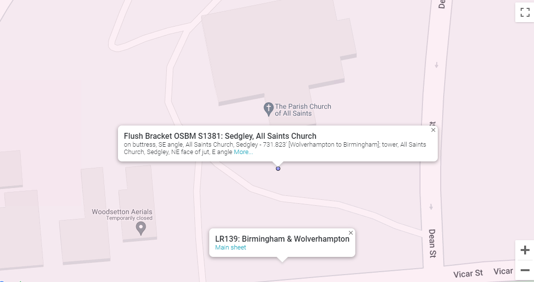
All Saints' Bench Mark has a blue circle on the OS map, indicating it is a 'Flush Bracket' mark.
Both marks appear on 'OS Landranger Sheet LR139', covering Birmingham & Wolverhampton (they also appear on OS Explorer Maps). Cut marks are represented as small white circles on the map. The mark at All Saints' is at ODN 222 metres, and that is called a 'Flush Bracket' mark (such marks are indicated as blue circles on the OS interactive maps).
While the first systematic network of levelling lines and associated benchmarks was initiated in 1840 - some benchmarks date back to 1831.
The horizontal marks are used to support a stable ‘bench’ for a levelling stave to rest on – hence ‘benchmarks’. This design ensured that a stave could be accurately repositioned in the future and that all marks were uniform.
The predecessors of Bench Marks were called 'trig points'.
Today the system used is the OS Net network of 110 Global Navigation Satellite System (GNSS) receivers. Surveyors use OS Net and GNSS technology everyday to instantly position new map detail to within a few centimetres.